Wind Lidar
Wind Lidar is an advanced remote sensing technology used to measure wind speed, direction, and other atmospheric parameters with high precision. Using laser beams and the Doppler effect, Wind Lidar provides real-time, three-dimensional wind profiles from ground level up to several kilometers in the atmosphere. It plays a key role in wind energy projects, weather forecasting, aviation safety, and environmental research.

Wind Lidar
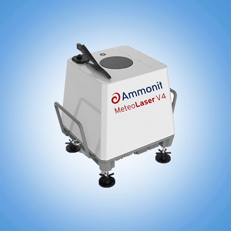
MeteoLaser LiDAR V4
Frequently Asked Questions
Wind Lidar stands for Light Detection and Ranging. It works by emitting laser pulses into the atmosphere and analyzing the backscattered light that returns after interacting with moving air particles. The change in frequency of the returned signal (Doppler shift) is used to calculate wind speed and direction at various altitudes.
Unlike traditional cup anemometers or wind vanes, Wind Lidar does not require tall towers or physical contact with the airflow. This makes it ideal for remote locations, offshore sites, and areas where installing meteorological masts is difficult or expensive.
A Wind Lidar system emits focused laser beams into the sky. These beams scatter off aerosols and particles carried by the wind. The system then collects the returned signal using a telescope and sensor, and analyzes the Doppler shift caused by the moving particles.
From this data, Wind Lidar calculates:
- Wind speed at different altitudes
- Wind direction profiles
- Turbulence and shear
- Vertical and horizontal wind flow
The technology provides accurate, continuous wind data in real time, making it highly valuable for wind assessment and atmospheric research.
There are two main types of Wind Lidar systems:
1. Ground-Based Wind Lidar
- Installed on land or offshore platforms
- Used for wind resource assessment, power forecasting, and aviation safety
2. Airborne or Space-Based Wind Lidar
- Mounted on aircraft, drones, or satellites
- Used in meteorological studies and large-scale atmospheric monitoring
Some advanced systems use scanning Wind Lidar, which rotates to capture wind profiles in multiple directions and over a wide area.
Wind Lidar technology is used in a variety of industries and research areas:
1. Wind Energy – Site assessment, turbine placement, and power forecasting
2. Aviation – Detects wind shear and turbulence near airports
3. Weather Forecasting – Provides vertical wind profiles for accurate predictions
4. Atmospheric Research – Studies boundary layer behavior and climate conditions
5. Offshore Wind Farms – Monitors wind conditions without the need for tall masts
6. Industrial Monitoring – Measures wind flow for emissions control and dispersion modeling
In each of these applications, Wind Lidar improves decision-making, efficiency, and safety.
1. No Tall Structures Needed – Works from ground level up to several kilometers
2. High Accuracy – Delivers precise wind measurements in real time
3. Portable and Easy to Deploy – Suitable for remote or offshore use
4. All-Weather Operation – Functions in various weather conditions
5. Low Maintenance – No moving parts exposed to the environment
Wind Lidar provides a cost-effective and flexible solution compared to traditional met towers, especially for offshore and complex terrain projects.
When choosing a Wind Lidar system, consider:
1. Measurement Range – Some models can profile up to 3000 meters or more
2. Accuracy and Resolution – Critical for reliable data and decision-making
3. Scanning Capabilities – Fixed-beam or scanning options depending on needs
4. Data Integration – Compatibility with forecasting software and data systems
5. Robustness – Weatherproof housing for outdoor and offshore use
The right Wind Lidar system ensures maximum performance and reliable long-term data collection.
To maintain your Wind Lidar for consistent performance:
- Install on Stable Ground – Ensure accurate alignment with minimal vibration
- Keep Optics Clean – Dirt or moisture on lenses can affect signal quality
- Power Supply Check – Use reliable batteries or power sources in remote areas
- Calibrate Periodically – Follow manufacturer guidelines for calibration
- Review Data Regularly – Monitor trends and perform quality checks
With proper care, Wind Lidar can operate for years with minimal manual intervention.
